An illustrated historical atlas of Lucas and part of Wood Counties, Ohio (Chicago : Andreas & Baskin, 1875) presents township maps and illustrations of homes and townscapes as they were seen in 1875. Most structures are gone but some of the landscape, water ways, and some roads are recognizable. You can use this tour and Open Street Mapsto locate (and perhaps visit) these sites. The GPS locations are only approximate but Open Street Map allows registered users to suggest corrections. The tour below shows an interactive map of Lucas and Wood Counties with popups of featured illustrations and a gallery of illustrations in the 1875 Atlas.
Map Tour of Lucas and Wood Counties, 1875
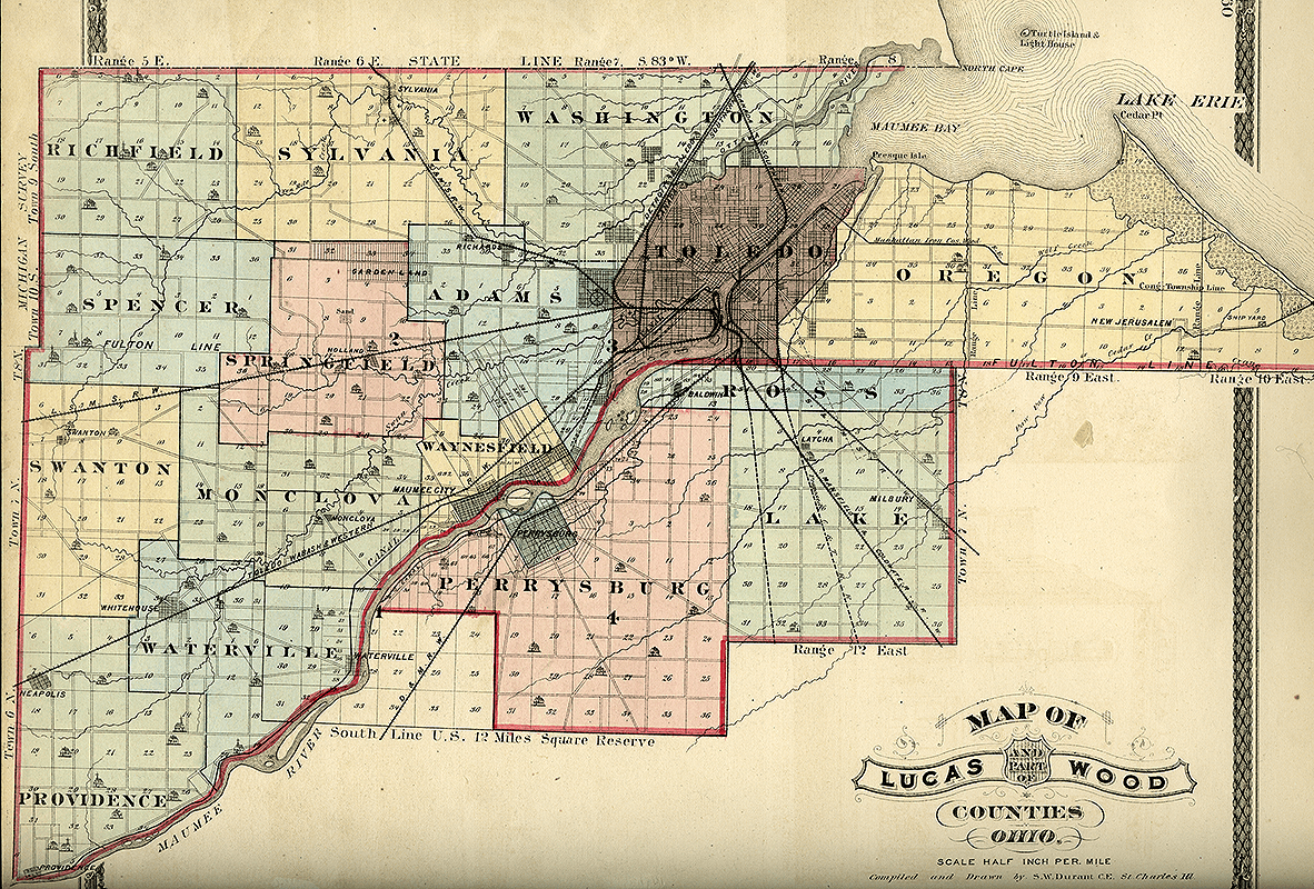
1875 map of Lucas and Wood Counties, Northwest Ohio. Source: An illustrated historical atlas of Lucas and part of Wood Counties, Ohio. Chicago : Andreas & Baskin, 1875